A Full Extra Day of Warning, Peer-Reviewed
On August 6, 2026, Google DeepMind published a companion piece of research in Nature describing WeatherNext, an AI model family built and validated together with the US National Hurricane Center, CIRA, and the UK Met Office. The collaboration matters as much as the result: this is not a lab claim tested only against DeepMind's own benchmarks, but a finding checked by the institutions whose job is to get cyclone forecasts right.
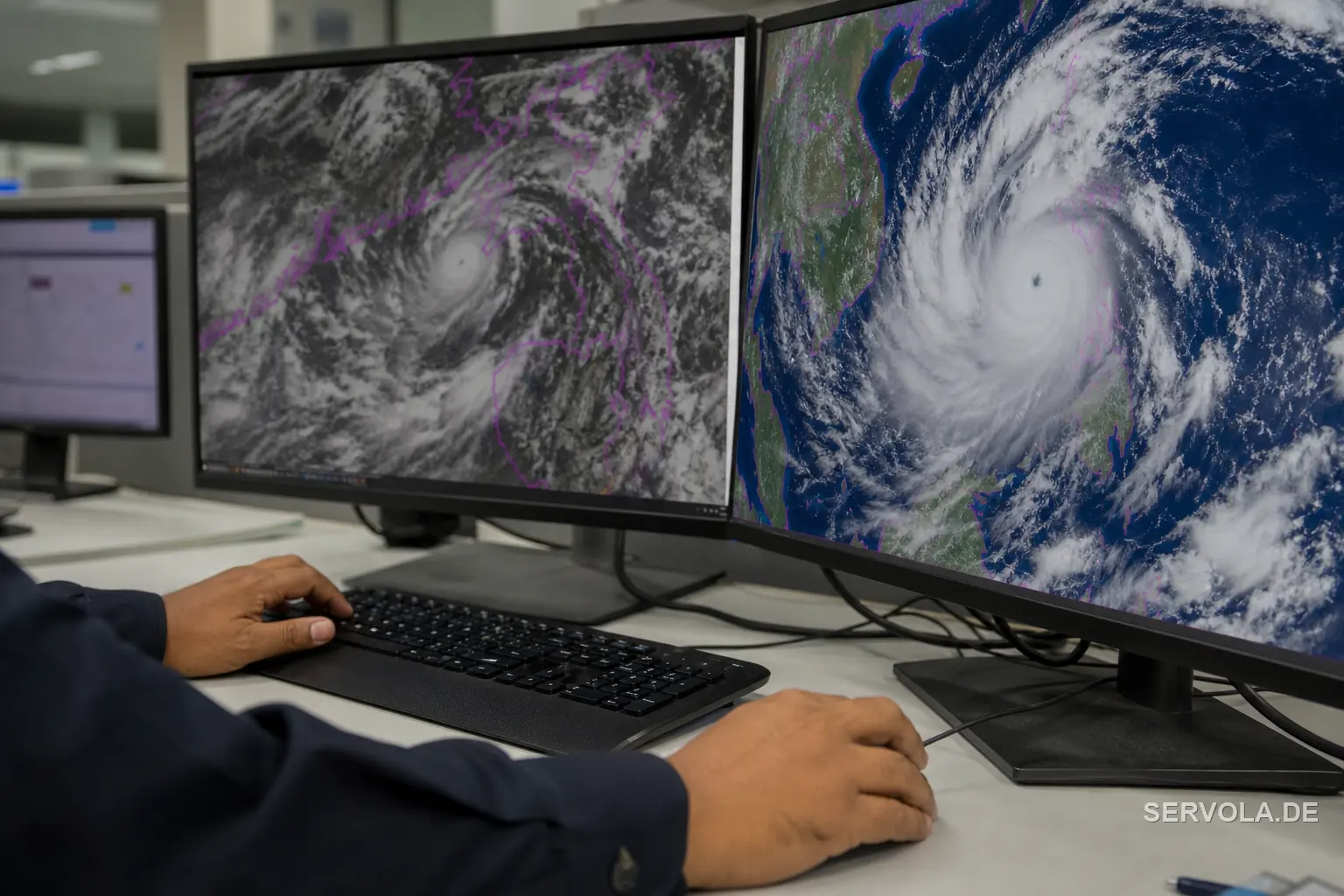
The specific improvement is concrete and easy to state. Three-day-ahead cyclone forecasts - track, intensity, and wind structure together - now match the accuracy that two-day-ahead forecasts had before. That is roughly a full extra day, about 24 hours, of accurate advance warning on where a storm is heading, how strong it will be, and how far its wind field reaches. For an evacuation order, a shipping reroute, or a construction-site shutdown, an extra day is the difference between a plan executed calmly and one executed in a scramble.
Peer review and multi-institution co-development are the parts worth sitting with, because most AI model announcements are not held to that standard. A company blog post claiming a forecasting breakthrough is a marketing claim until an outside body with operational responsibility puts its name on the finding. Here, the US National Hurricane Center, CIRA, and the UK Met Office did exactly that.
Genuinely Open: Code, Weights, and a Free Colab Notebook
The word "open" gets used loosely in AI announcements, often meaning nothing more than API access to a hosted model. WeatherNext is open in the stricter sense: the code sits in the public google-deepmind/weathernext repository on GitHub under an Apache 2.0 license, and the model weights themselves are free to download, not gated behind a paid endpoint.
Three variants shipped together: WeatherNext Cyclones, WeatherNext 2, and WeatherNext 2-mini. The mini variant is deliberately small - light enough to run on a single TPU through a free public Colab notebook, meaning a team without a hyperscale compute budget can load it and start generating forecasts the same afternoon.
That removes a specific excuse. Any national meteorological service, shipping operator, or insurer that previously assumed cyclone-grade forecasting required either a proprietary vendor contract or a large in-house modeling team now has a peer-reviewed, free alternative to at least start from. The barrier that is left is operational speed, not access.
Already Steering Real Storm Decisions
This is not a model waiting for its first real test. The US National Hurricane Center already used earlier WeatherNext models operationally during the 2025 season, through Hurricane Melissa's rapid intensification and its Jamaica landfall - a storm phase where forecast accuracy has the most direct effect on evacuation timing and public warnings.
That operational history is why the Nature paper carries the National Hurricane Center's name as a co-developer rather than as a cited user. A body with statutory responsibility for cyclone warnings does not lend its name to a model it has not already leaned on when the stakes were real.
Put together, the announcement is not the beginning of WeatherNext's credibility - it is the point where a tool that was already shaping forecaster judgment calls in a live hurricane season becomes available, free and open, to everyone else.
Beyond the Announcement: Who Loses the Forecasting Moat
The headline is a model release. The consequence worth tracking is a shift in where competitive advantage sits. When the best cyclone forecasting required a proprietary in-house model, the advantage belonged to whoever owned that model. Once a state-of-the-art forecast is free, open-source, and peer-reviewed, the advantage moves to whoever operationalizes it fastest - and that question applies whether or not your business sits anywhere near a hurricane track.
Europe does not face tropical cyclones directly, but two exposures make this more than an academic point. First, French overseas territories in the hurricane belt - Guadeloupe, Martinique, and French Guiana - carry direct, uninsured-population exposure that a faster, more accurate warning window helps address immediately. Second, and more broadly for EU/UK owners, European reinsurers and catastrophe-risk underwriters - the London market alongside the Zurich and Munich reinsurance centers - price a large share of global hurricane risk. A free, peer-reviewed, open-source forecasting model changes the bar for what "adequate" catastrophe-modeling infrastructure looks like, at the exact moment when the previous state of the art assumed only a well-resourced proprietary shop could build one.
The practical takeaway for an EU/UK operator is a question to put to your own risk chain, not a weather update: watch whether your insurer's or reinsurer's catastrophe models adopt open tooling faster than you would expect, and treat "we rely on a vendor's proprietary forecast" as a shrinking moat, not a permanent one.
Read next: Your AI Agents Can Catch Fraud, Not Stop It | Half of Google's Weather Claims Are Independently Checked